This page/article is intentionally a ‘work in progress’.
The reason being is that we hope that you will see and recall (even perhaps be able to put a story to) some of the images herein because all or any input from you (our website visitors) would be greatly appreciated by those of us on the History Project team.
So we encourage you to be on the lookout for more ‘Remnants (of a day gone by)’ as you wander around the Estate and local Nature Reserves. And we’d like to hear from you íf you have any information (or images) that you can feed to us via our ‘Çontact’ email (see above) or via our Facebook Page as we look to gather interesting remnants of the area and list many of them herein.
Remnants (of a day gone by) can at times be left intentionally by those that come afterwards, or in some cases are inadvertently left behind by those that came before us.
Often these remnants can trigger memories, or enable us to imagine how things perhaps once were.
This Website (and our History Project more broadly) is a testament to how images can be both intriguing and fascinating in terms of what life might have been like in and around the Mont Park area ‘back in the day’.
So it was a lot of fun to walk around the area where the Mont Park Hospital precinct once was, and to get ‘off the beaten track’ at times in the search for ‘Mont Park Remnants’.
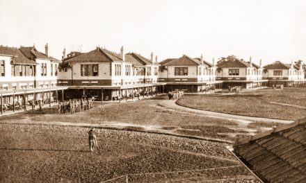
Of course, quite a number of the Buildings across the former Mont Park area have been preserved, many of which are now ‘Heritage Listed’.
There are also many remnant Eucalyptus/Gum Trees (https://www.montparktospringthorpe.com/if-only-the-river-red-gums-could-talk-by-gary-cotchin/) that have died but their ghostly grey exterior and inviting trunk hollows provide a place where animals and bird-life continue to survive and thrive.
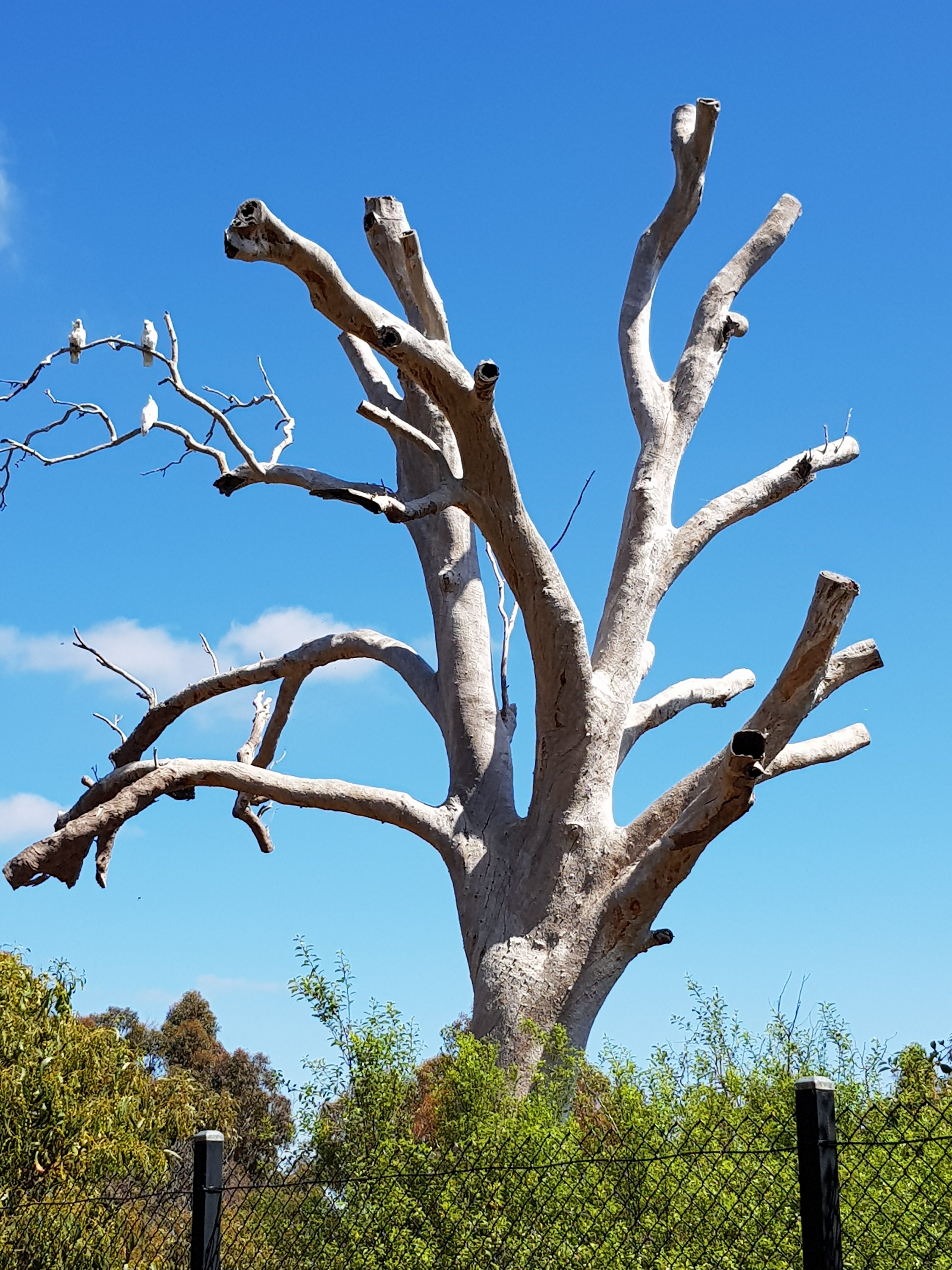
A dead Red Gum Tree on the side of Gresswell Hill on the slope down to Gresswell Rd. 2018. Image courtesy of Gary Cotchin.
There are however smaller, more discreet items that still exist here that remind us of ‘days gone by’.
Here are some of the items found thus far.
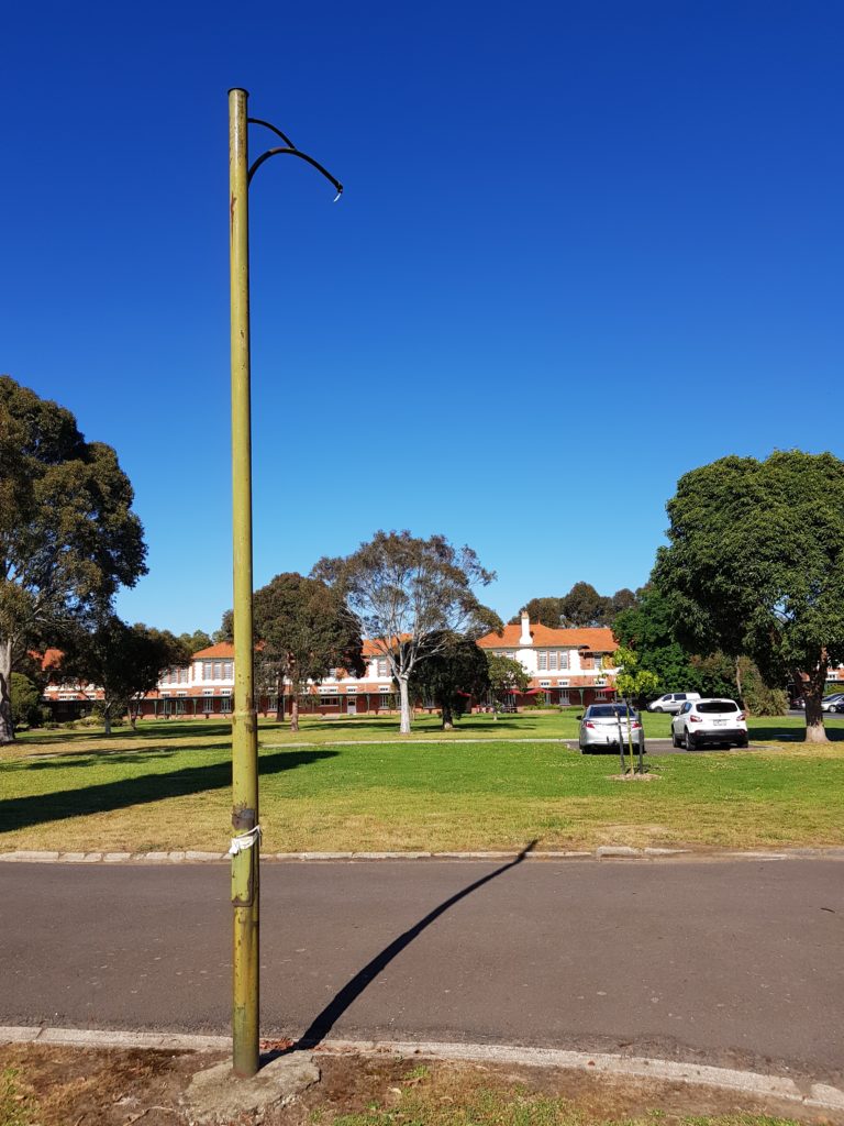
An old Mont Park street light near the corner of Ernest Jones Drive and Main Drive. 2018. Image courtesy of Gary Cotchin.
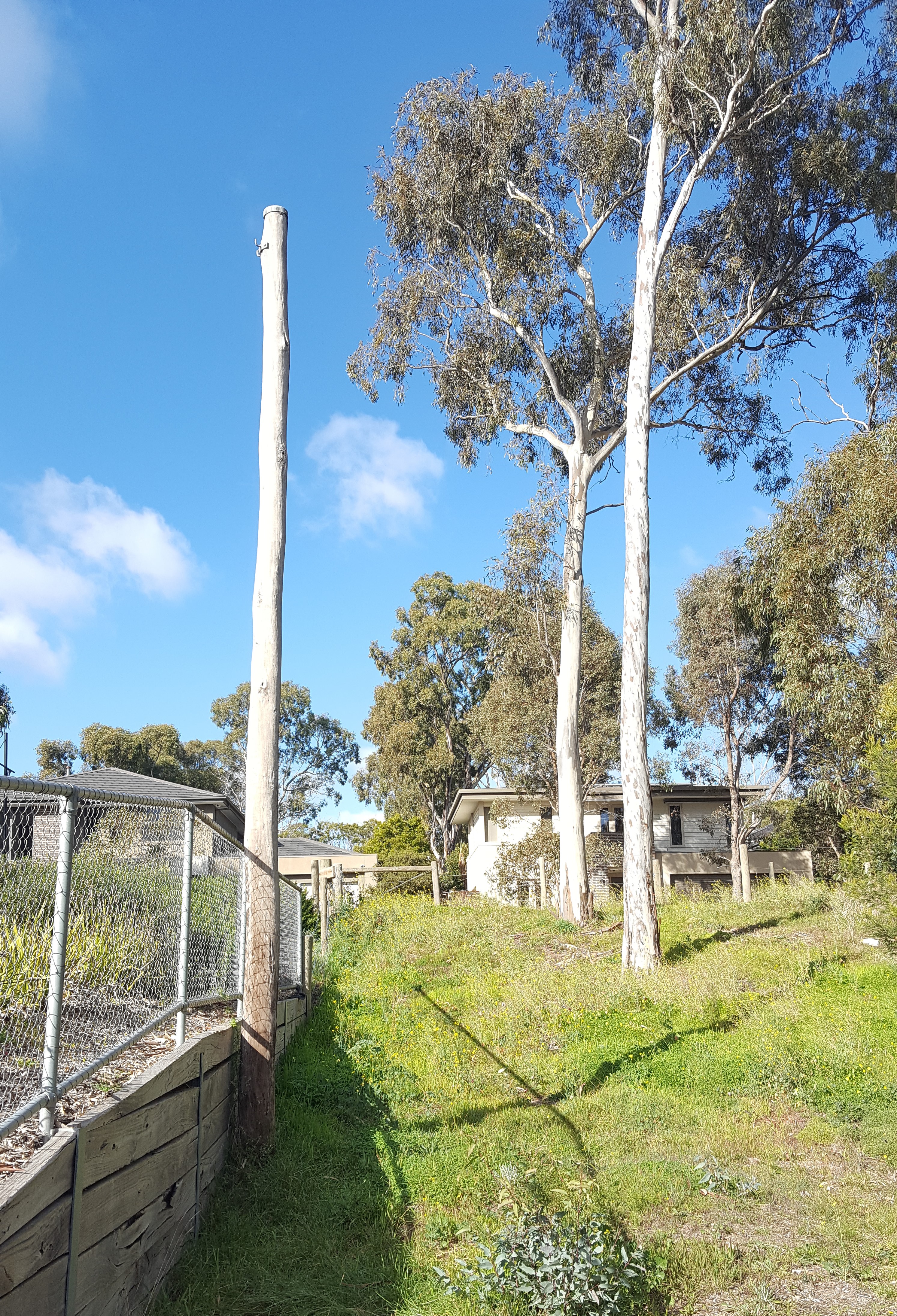
An old Mont Park power pole on Gresswell Road. 2017. Image courtesy of Gary Cotchin.
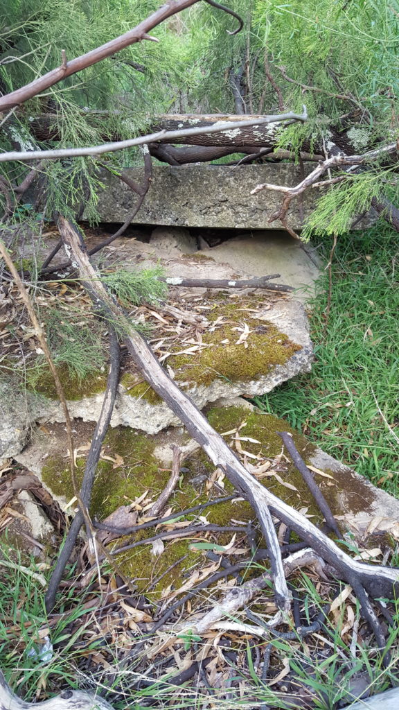
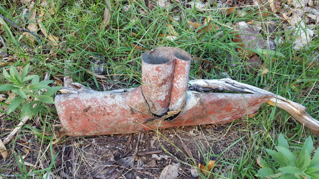
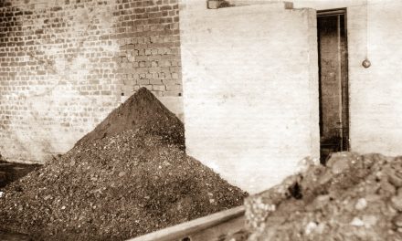
These two images are presumed to be of demolished pieces of the Gresswell Sanatorium that appear to have been dumped within the Gresswell Forest near one of the Gresswell Road entrances to the Forest. 2017. Images courtesy of Gary Cotchin.
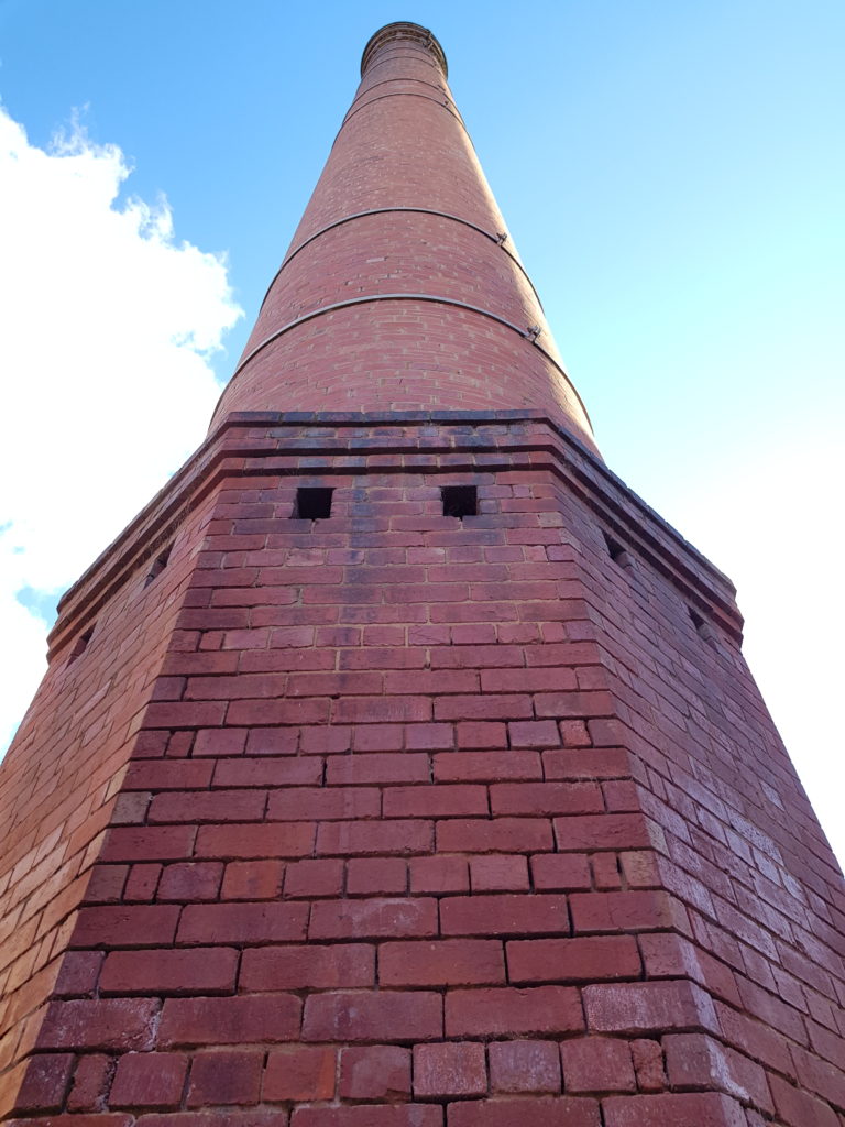
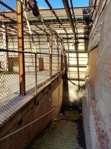

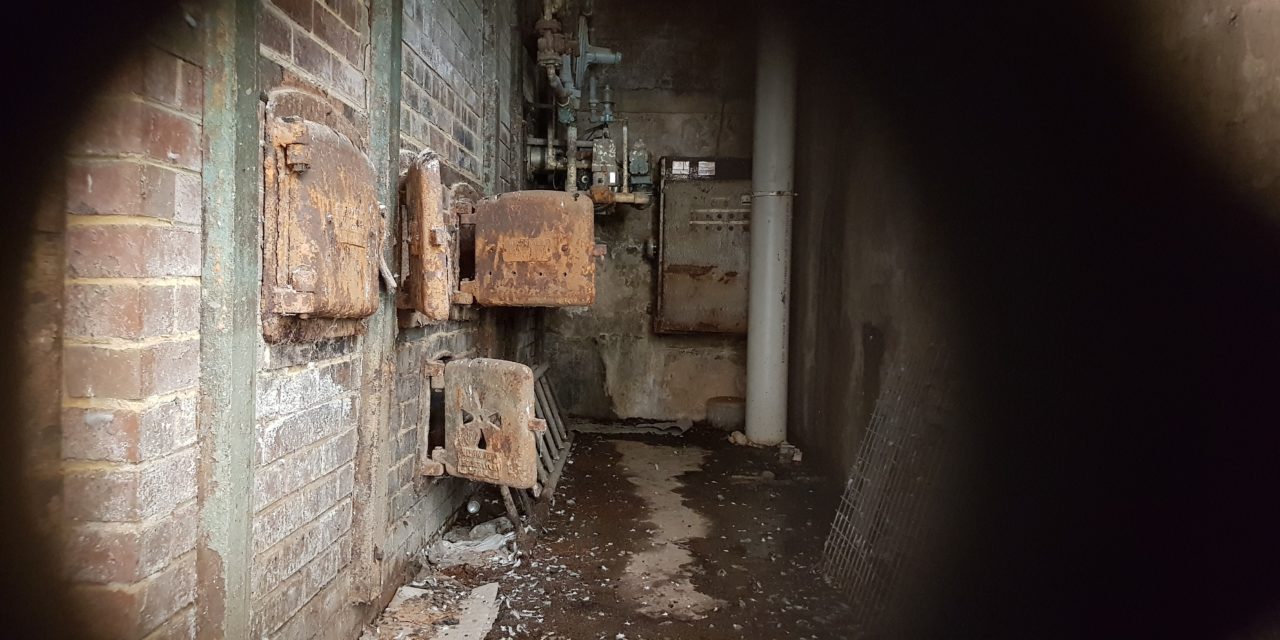
These three images are of the Furnaces (now closed to the public) and the Furnace Chimney Stack at the rear of The Terraces (formerly the Chronic Wards – Mont Park). 2017. Images courtesy of Gary Cotchin.
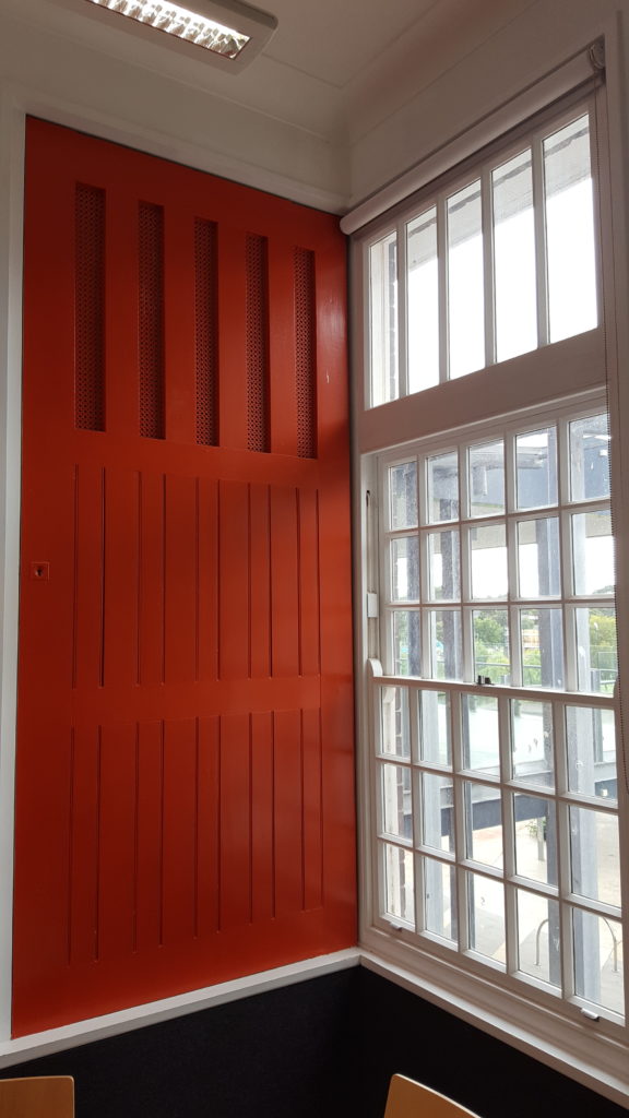
A Mont Park/Larundel ward/room door that has been restored and hung in one of the offices at the Darebin Community Centre that is opposite the Polaris Shopping Centre on Plenty Road. 2017. Image courtesy of Gary Cotchin.
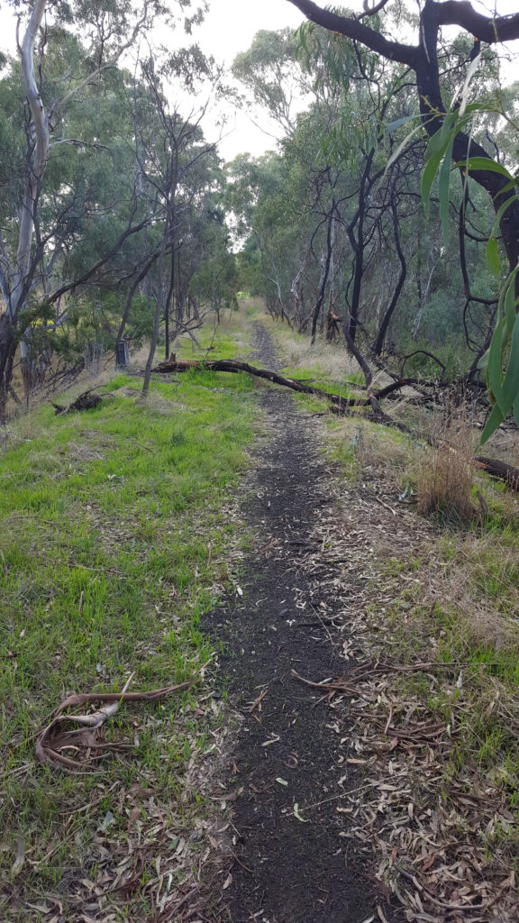
These three images (including the rail stauncion and the former rail path) are remnants of the old Mont Park (Brach) Rail Line that climbed up the hill from Macleod Station to what was the Mont Park Railway Platform/Station between the years 1911 to 1964. [Insert Hyperlink here to the Mont Park Rail Line Page]. There are numerous remnants (at least 7 or 8) of this Rail Line dotted along the first half of its journey up the hill, beginning at the corner of Wungan Parade and Cherry Street through what is now known as the Cherry Street or Harry Pottage Reserve. 2017. Images courtesy of Gary Cotchin.
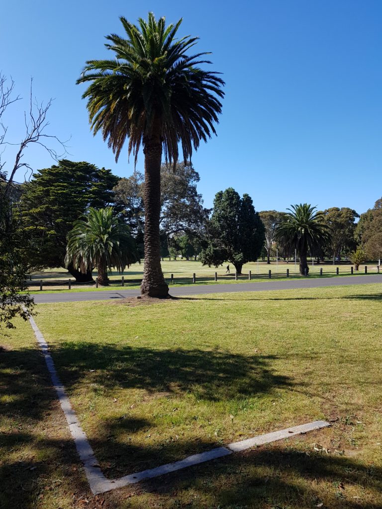
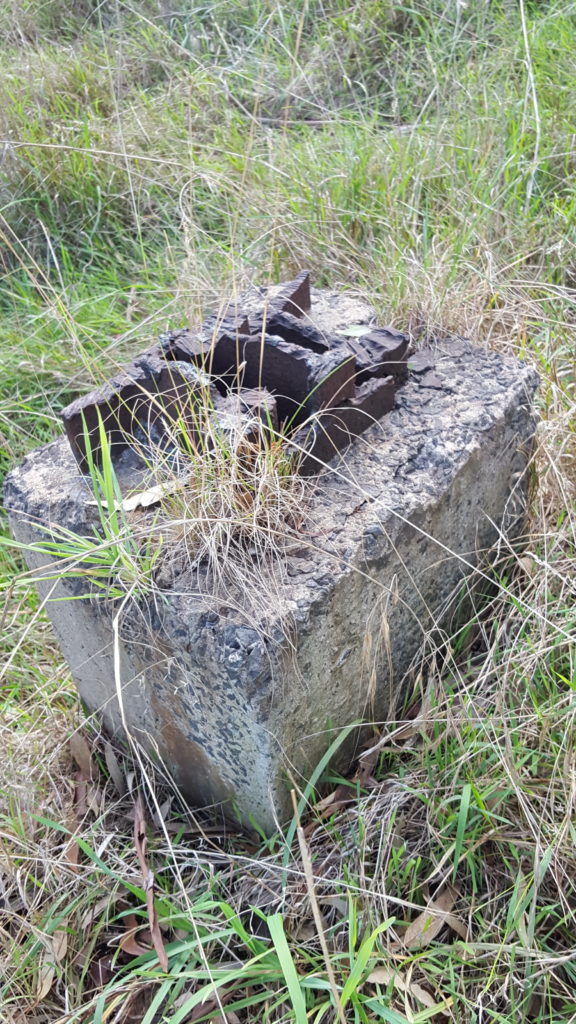
These two images show some remnant footings (or similar) of structures that were once on the south side of Ernest Jones Hall on Ernest Jones Drive. Perhaps some old photos of Mont Park may help us to work out what was once here. It is entirely possible that the image to the left (above) was part of the Swimming Pool that reportedly was once situated close to here. 2017. Images courtesy of Gary Cotchin.
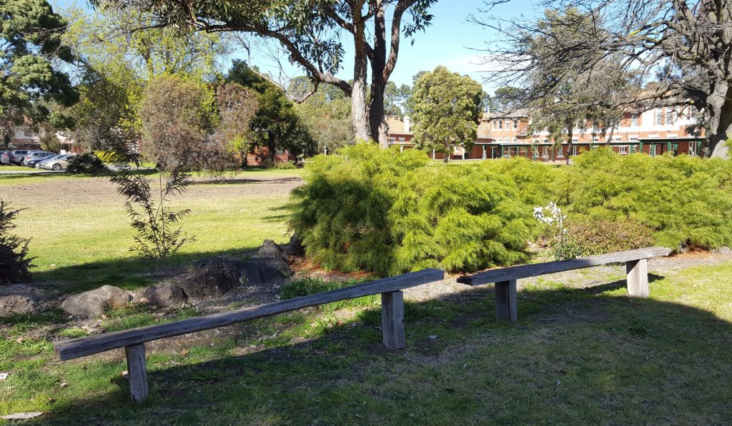
This was no doubt a place where Staff and Patients rested in the gardens of the Mont Park Chronic Wards (now ‘The Terraces’) on Ernest Jones Drive. 2017. Image courtesy of Gary Cotchin.

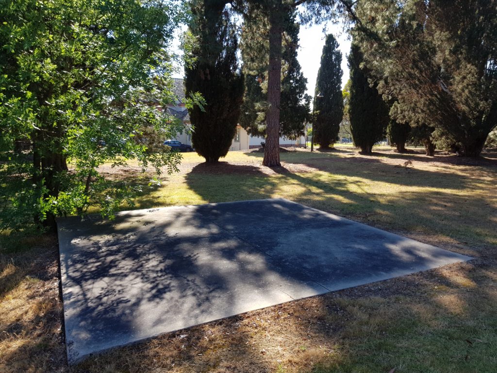
A remnant footing of the Medical Surgical Unit building that was positioned at the rear of The New Hospital (now known as BM La Trobe House) on Springthorpe Boulevard. 2017. Image courtesy of Gary Cotchin.
A remnant old Mont Park street light on the Southern side of Ernest Jones Hall on Ernest Jones Drive. 2017. Image courtesy of Gary Cotchin.
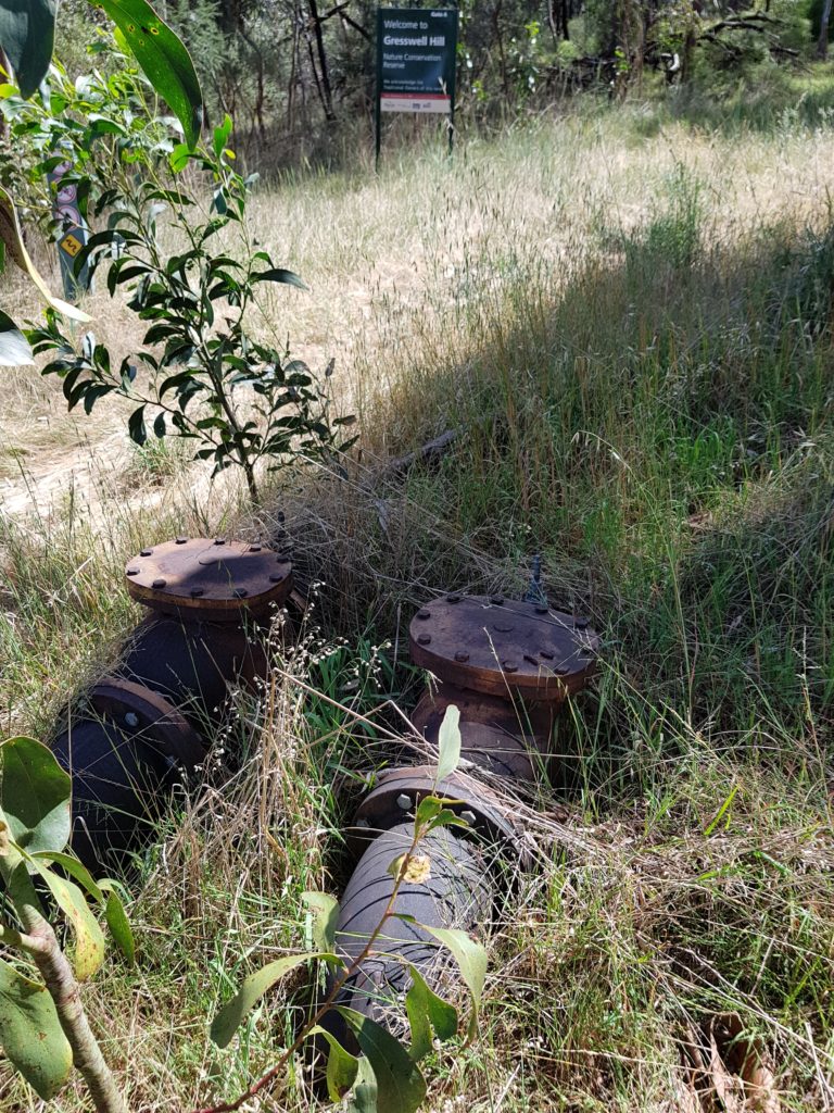
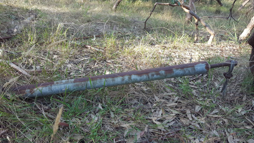
Decommissioned Water Pipes and Valves that lead to and from the Water Tank on Gresswell (formerly Sugarloaf) Hill. 2017. Image courtesy of Gary Cotchin.
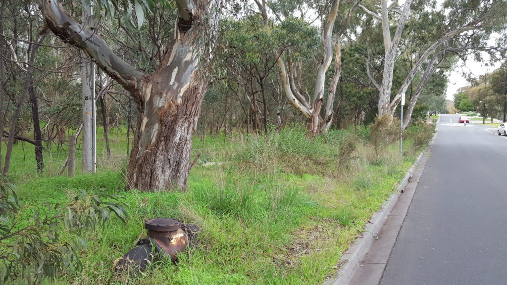
Water Pipe and Valve, and an old power pole on Main Drive (formerly Wattle Drive) near the Golf Club Entrance. 2017. Image courtesy of Gary Cotchin.
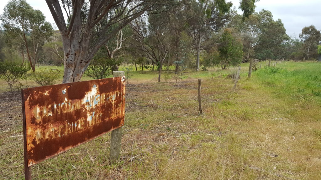
A redundant sign that reads ‘La Trobe University Wildlife Reserve’ in the now ‘Gresswell Habitat Link’. This sign is in the South/East corner of the Habitat Link just behind houses on Gresswell Road. 2017. Image courtesy of Gary Cotchin.
![]()
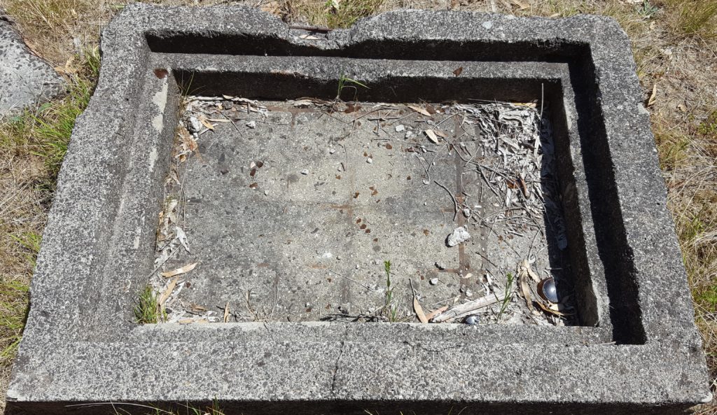
These two images taken inside the Gresswell Habitat Link (with similar structures also found around the area including in Cherry Street Reserve) show what is perhaps part of the earlier Water or Sewerage system for Mont Park (now presumably decommissioned). 2017. Images courtesy of Gary Cotchin.
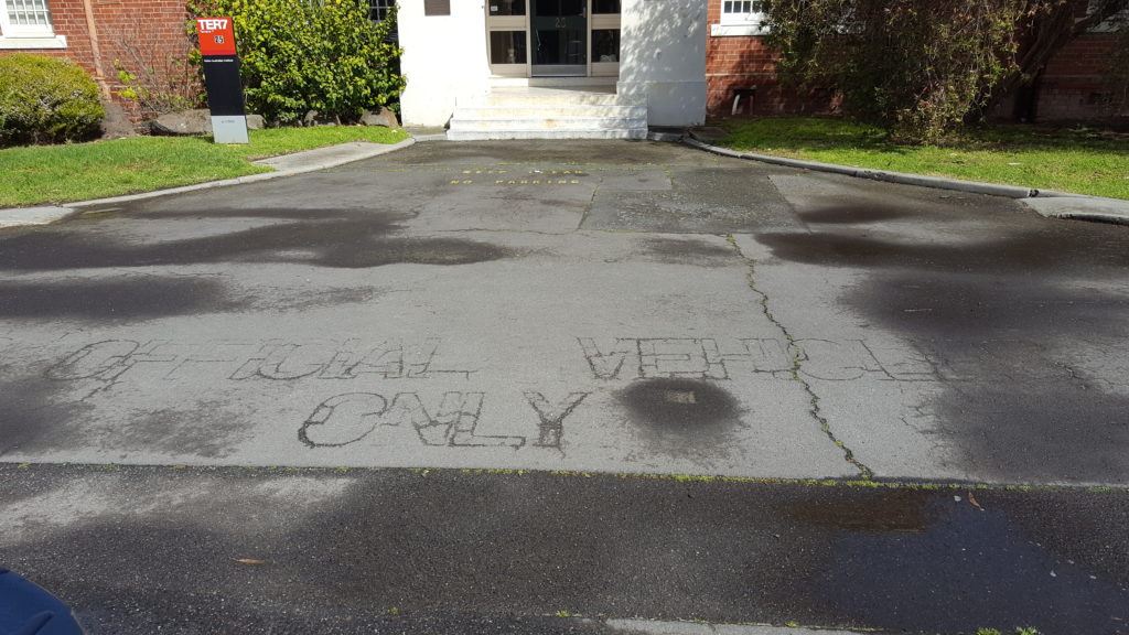
An old etching at the front of the Main Entrance to the former Mont Park Chronic Wards (now ‘The Terraces’) on Ernest Jones Drive that reads ‘Official Vehicles Only’. 2017. Image courtesy of Gary Cotchin.
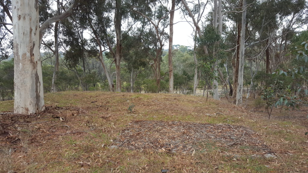
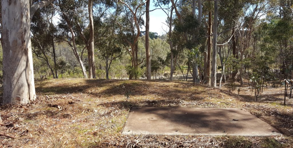
And I came across this recently in between Gresswell Road and the Gresswell Habitat Link. Once uncovered it has left me with more questions than answers. Does anyone know what this was? A Bus Stop maybe ? 2018. Images courtesy of Gary Cotchin.
Have you found anymore remnants, or have any updated information or a ‘historical backdrop’ to any of these images perhaps ?
If so please get in touch with us, we’d love to hear from you.